


RBH prepares next Lower Falinge phase
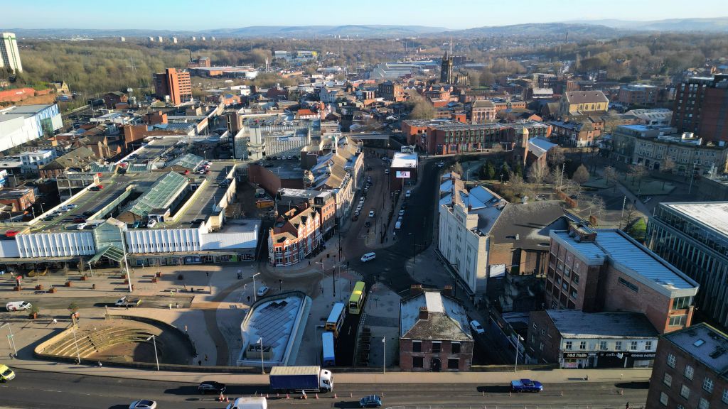
Rochdale Boroughwide Housing has set the ball rolling on plans for 270 homes across two parcels of land on the estate, north of the town centre.
As set out by planning advisor Lichfields in an Environmental Impact Assessment screening request, the regeneration of Lower Falinge is an ongoing strategic priority for Rochdale Council as it looks to improve its housing offer in combination with the overhaul of the nearby town centre.
A number of consents over the last 15 years have seen phases of housing stock demolition and replacement, with homes delivered in 2013, 2016 and 2018, said Lichfields, with the areas between Howard Street, Waterhouse Street and Samuel Ashworth Street the focus.
A Lower Falinge spatial strategy was commissioned by the council in 2017, becoming a supplementary planning document adopted in 2021.
The proposal
At this stage, the application is expected to be hybrid, with full permission sought for the demolition phase, and outline consent for the development of 270 homes, replacing 150 homes to be demolished.
Houses and apartments will be developed, of one to four bedrooms. The proposed mix at this stage is for 15.6% one-beds, 53.5% two-beds, 18.8% three-beds, and 12.1% four-beds. All will be affordable rent homes.
Western parcel
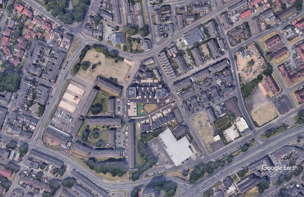
Coming next, should plans proceed, will be the development of two parcels of land. The first, the 6.4-acre western parcel, is broadly bound by Falinge Road to the north, Lower Falinge Road to the east, Spotland Road to the south, and Sheriff Street to the west.
At present, the site houses nine residential blocks, with 202 homes within, along with “incidental” grassland that has grown over an area once occupied by garages.
Seven of these blocks are proposed for demolition, with a combined 150 homes. Half of them are one-bedroom, 36% three-bedroom, and the remainder two-bedroom.
The Pershore and Stavordale buildings will be retained.
Lichfields describes the broad plan as a network of low-speed residential streets and shared spaces, with a green travel corridor running northwards from the south-east corner.
Eastern parcel
The 5.3-acre eastern parcel is bound by High Street to the South, Oldmill Street to the east, Hope Street and Waterhouse Street to the north, and Toad Lane to the west.
It is mostly hardstanding or grassed over, with several buildings, residential and commercial, having been demolished over the last five years. A three-story building housing a clothing firm remains in the redline area and is now proposed for demolition.
Family housing and apartments are proposed, in buildings of two to four storeys, using the existing road network.
The expectation is that the western parcel will be delivered in three phases, and the eastern in two. The parcels of land both sit north of the “Seven Sisters” blocks at College Bank, a project that could be underpinned by RBH’s securing of a £55m finance package at the start of this year as
Redmore Environmental and Astute Transport Planning are also on the professional team.
The EIA document lodged by Lichfields can be seen on Rochdale Council’s planning portal, using the reference OTH/2026/0781.
Related Articles

Analysis - Commentary
VIDEO | How to design an office the right way
When JMW Solicitors signed for 43,000 sq ft of 125 Deansgate in Manchester, the law firm effectively had a blank canvas to create the perfect place for its clients and staff. Partner Thomas Pearson walked Place North West through the firm’s approach.