


Warrington to be underwater within 20 years, but where’s the plan?
Global sea levels are rising. They’ve risen 10cm since 1993 and are projected to rise further still. What are planners doing to anticipate this watery Armageddon, asks Jeremy Hinds of Savills.
The conversation about rising sea levels focuses on low-lying countries like Bangladesh and the Maldives. But recent mapping reveals just how much land is projected to be underwater in less than 20 years if climate change continues on current trajectories.

Join me on a whistle-stop global tour in 2040:
Vietnam’s southern peninsula, right up to Ho Chi Minh City, and Bangkok, Thailand are both completely wiped out, along with Basra, Iran and the southern coast of Louisiana, USA.
In Europe, the entire coast of the Netherlands (perhaps less surprisingly), stretching through Germany and Denmark, also ends up under water. And in the UK, the wash consumes vast areas of Lincolnshire, Norfolk and Cambridgeshire, right up to the outskirts of Peterborough and Cambridge.
Let’s take a look at one UK town which is currently in the process of preparing a new local plan.
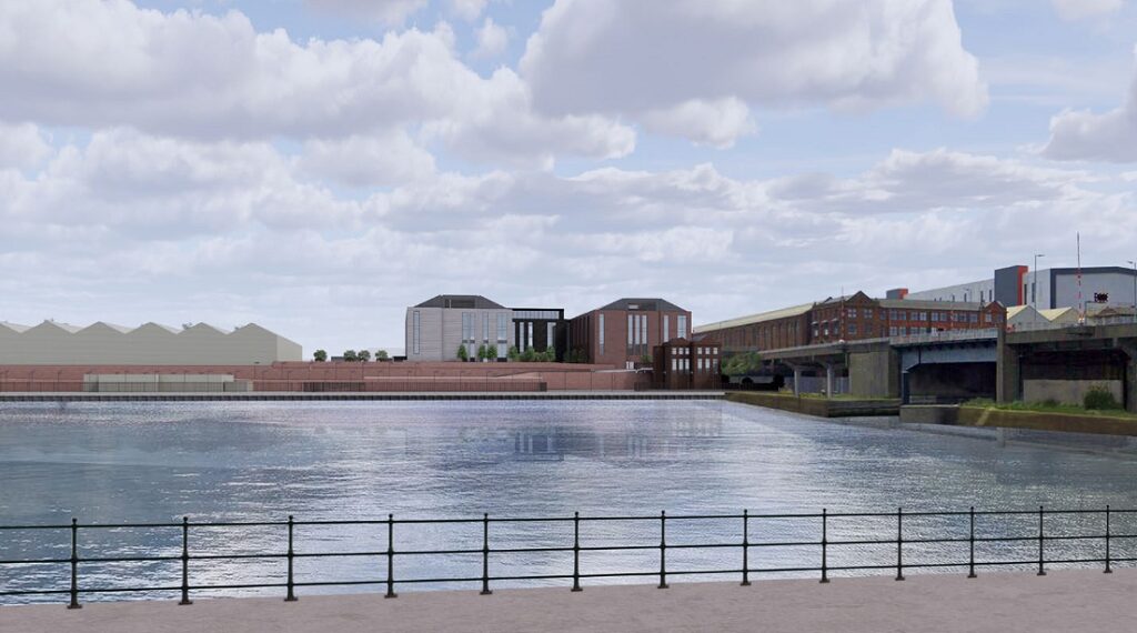
Warrington’s flood risk and emerging local plan

Source: Climate Central
Warrington Council is currently preparing a new plan for the period 2021/38. A lot of work has gone into it and, after examination took place in October, they’re nearly there.
The graphic above shows projected sea levels in the year 2040, two years after the end of the next local plan period. So, what does the emerging plan say about Warrington’s impending flood?
Well, the word flood is mentioned in the plan 114 times. So far so good. But it’s in the context of building in the existing flood plain (not the extent of the land in red above) and refers to river and surface water flooding. The impact of sea level rises? Not mentioned at all.
How many of Warrington’s proposed houses are allocated within land that will be underwater in 20 years’ time? Answer: 3,095.
The pace of plan making
Warrington isn’t a special case. The planners there haven’t dropped the ball. They’ve based their plan on evidence. But it does show a glaring problem with the current process of plan making.
Plans simply take too long to make and are not agile enough to consider new evidence as it emerges. Warrington’s emerging plan is informed by a strategic flood risk assessment. It’s just that that technical evidence doesn’t anticipate sea level rises.
The problem is that there isn’t a legitimate national – or regional – spatial plan that addresses the impacts of environmental change head on. If there were, a town like Warrington would use it to inform its own plan and avoid building in areas at risk.
The time lag is enormous between when we see changes in the science and when our planning system responds. But we can’t wait until the next plan: these mapped forecasts relate to the end of the current plan and when we get there it will be too late.
How must we respond?
Perhaps the simple answer is to build more flood defences.
But it isn’t just Warrington facing this problem, it’s significant areas of the UK. Vast areas of countryside and towns and cities on major river estuaries, namely the Mersey and Dee, the Humber, the Severn and, frighteningly, the Thames.
Don’t forget that defences only work for occasional floods, to protect from extreme weather events. But we’re not talking about extreme weather events anymore. It’s simply that our seas are rising and taking our land.
Flood defences are no mean feat. They’re expensive. Who will pay for them? Who decides which areas get protected and which areas are given over to the water?
We must face facts. Areas will have to be given over to water.
Rethinking our strategic plan making
The change in global sea levels will have huge implications on strategic plan making in every nation.
Where do we put the houses?
We can’t just plan for the identified needs in one area, we need to plan to also meet the needs of areas where people can no longer live.
What is the right flood defence solution?
How do we decide which areas we protect and which we allow to flood?
All these things have to be thought of at a greater scale than the local level. It will need coordination, difficult decision making and funding.
A national plan for a coordinated solution
Localism has been a huge string to the Conservative government’s bow, because it’s seen as the most democratic way to make planning decisions. That’s understandable; the impact of development is felt locally.
But when we’re dealing with the impact of climate change, the scale is so great it has to be dealt with at the macro level.
The UK government has again rejected the idea of regional plans on the basis that they’re not democratic.
That only supports the case for a national plan more. A national plan prepared by our elected government would be democratic. That’s the right scale to address this impending problem, with regional bodies that implement the objectives of the national plan.
Be more Canute
Trying to hold back the tide is futile.
But the alternative of watching the sea encroach our towns and cities, without a plan of action, is frightening.
What’s the answer?
Planners must come to the same realisation as King Canute; trying to hold back the tide is futile. The only appropriate response is a national plan that sees the big picture and plans for a future that expects significant changes in our flood plains.
There’s a clamour rising from the built environment profession saying that a local approach doesn’t work. Local planners from Bangkok to Baton Rouge are working hard to find solutions. But we cannot expect them to tackle this alone. We need a proper strategy. Every country needs a national, and regional, framework that identifies what land is going to be lost and what is going to be protected.
Until we have a more agile plan-making system and make decisions at the appropriate scale, we’re planning blind and building homes on land that will soon be taken over by the sea.
- Jeremy Hinds is planning director at Savills
![]()