

C-charge inner ring boundaries unveiled
The Association of Greater Manchester Authorities and Greater Manchester Passenger Transport Authority have outlined the boundary options for the proposed inner congestion charging ring.
The final position of the ring will be confirmed after public consultation through the summer.
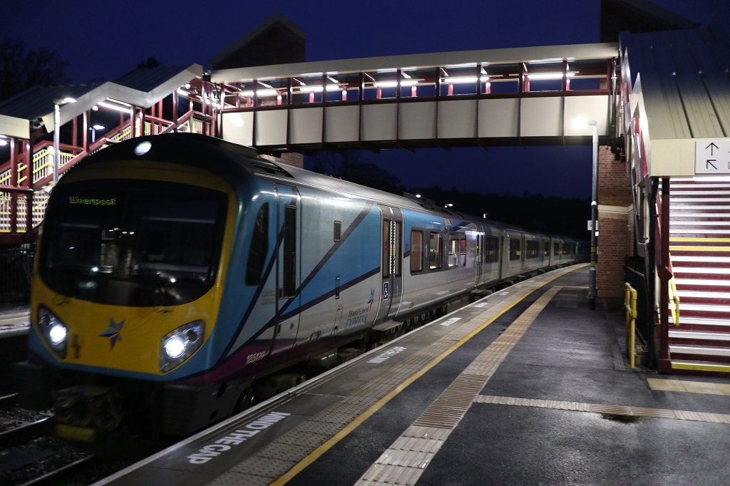
The introduction of congestion charging is a part of Greater Manchester's potential £3bn investment under the Transport Innovation Fund. This will support expansion of the tram network, revitalisation of the bus network and extra carriages on peak time trains which will run through refurbished stations.
The basic location of the proposed inner ring runs along Queens Road to the north and Alan Turing Way to the east. The westward boundary is Trafford Road/Frederick Road. Other boundaries will be confirmed after the public have given their views during consultation.
Sir Richard Leese, leader of Manchester City Council and deputy leader of AGMA, said: "Since proposals were initially announced, there have been detailed discussions with the highways authorities to make sure that natural community ties such as shopping areas and school catchment areas are not broken. We want to hear the view of communities, on where the inner ring boundary will sit, during our summer consultation."
"The publication of the inner ring will allow people to calculate whether or not they will pay a charge.
"We expect that only 20% of peak time drivers will actually pay any charge at all as they will not cross a ring in the direction of congestion.
"In fact we anticipate that only 1% of all daily drivers will pay the full £5 charge, with the average cost being less than £3 at current prices."
The options are:
Southern Boundary
Two options are given for the southern boundary
- South Option A Wilbraham Rd, or
- South Option B Hathersage Rd and Moss Lane,
Northern Boundary
North option
To the north, residents will be consulted on whether they wish the area of Broughton/Cheetham, inside Great Cheetham St East and St James 's Road is outside (North option A) or inside (North Option B) the inner ring.
Southwest Options A and B.
To the southwest there is a range of options for consultation.
- Most discussion will centre around whether Withington Road/Chorlton Road (South West Option A) or,
- Manchester Road/Seymour Grove (South West Option B) should form the south western boundary.
- (South west Option C) The other option for consideration is whether the north side of Bridgewater Way or western end of Stretford Road should form part of the inner ring.
Trafford Park industrial estate will lie outside of the inner ring.
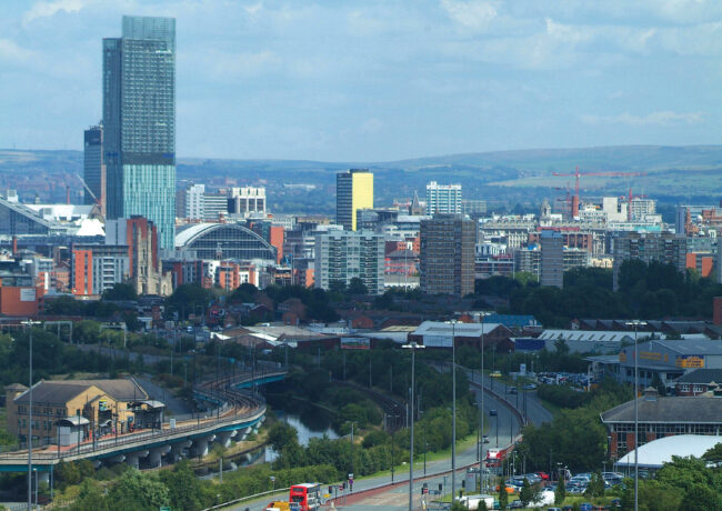
While London has a blanket zone – where any driving within that zone is liable for a charge – the Greater Manchester scheme charges drivers only when they cross one of two charging rings at peak times- an outer ring, just inside the M60, and an inner ring around the city centre. The charge also relates to the direction of travel – drivers paying to drive inwards in the morning peak and outwards in the evening peak.
There is no charge for driving around the rings or between the rings or outside of peak times.